
Chisholm Trail: overview

Overview

Cyclist on AC bridge

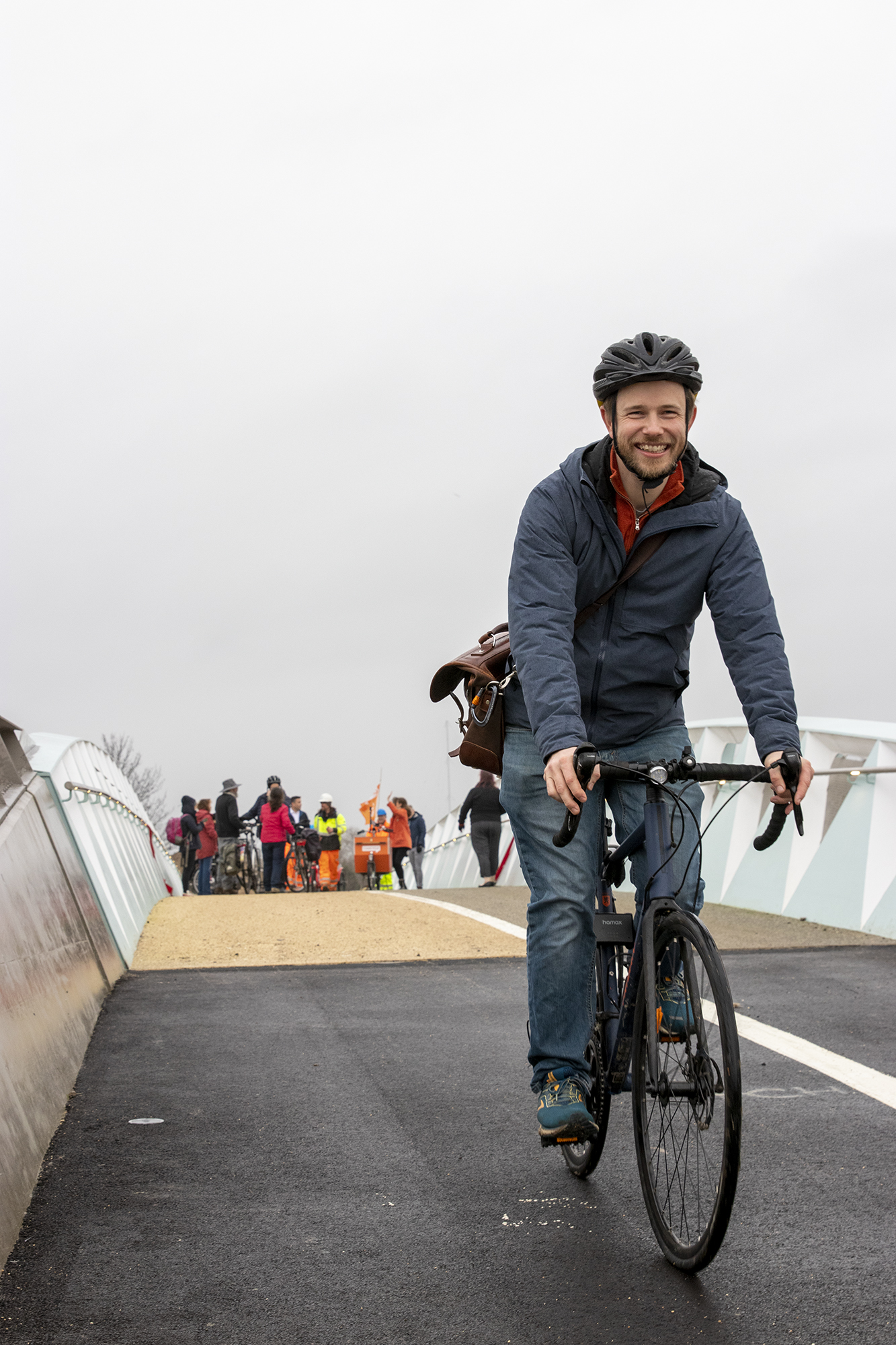
The Chisholm Trail forms a key backbone route for cyclists and pedestrians from one end of the city to the other.

The Chisholm Trail will link Addenbrooke’s Hospital and the Biomedical Campus in the south to the business and science parks in the north. The central section from Cambridge Station to Cambridge North Station, which this project deals with, is a 3.5-kilometre route.

The route will link to each end of the Busway at the current railway stations, providing a largely off-road 26-kilometre route from St Ives to Trumpington.

Through the Trumpington Busway, the Chisholm Trail also connects to the proposed Cambridge South railway station and the Cambridge South East Transport project, which will provide an off-road cycle route from the Cambridge Biomedical Campus / Addenbrooke's, out to the A11 and Granta Park / Abington and on to Linton. 

Chisholm Trail - jetty and bridge (3)

Ongoing design work on the Greenways projects, Cambridge Eastern Access, and Waterbeach to Cambridge all take the Chisholm Trail into account.

The north-to-south route follows the railway line wherever possible and will provide a quicker and safer route across Cambridge. It will be mainly off-road or along quiet streets and links up green spaces in Cambridge including Coldham’s Common, the Leper Chapel Meadows, Barnwell Lake area, Ditton Meadows and Stourbridge Common.

The GCP has worked with Cambridgeshire County Council to deliver the Phase 1 infrastructure, and will be delivering Phase 2, with some preparatory work already undertaken by Network Rail.

Our growing, thriving city needs clean and quick ways to travel around. The Chisholm Trail gives us a chance to get to work, school or to access leisure facilities within Cambridge. It will also provide convenient links to Cambridge and Cambridge North railway stations and to other, mainly off-road, transport networks such as Greenways and bus routes. This will make it easier to reach neighbouring towns and communities and the countryside.

The Trail will be built in two phases. Phase 1 of the Chisholm Trail was completed in Summer 2022. Phase 2 of the Chisholm Trail is expected to be completed over a period of three to five years once construction has started. It is possible that we will be working on some areas consecutively. Some stretches of the Trail will be quicker to implement than others. 

This route has been chosen because it is the quickest, most practical and direct means to get from Cambridge Station to the Cambridge North Station while keeping users away from busy traffic. The Trail follows the railway line where there is space available and links a number of green areas together. Some of the rail corridor is unavailable due to new developments and operational rail infrastructure. 

The use of an underpass avoids an increase in the use of the existing toucan crossing, which would further delay road users on this key bus route. Although the underpass is now complete, the toucan crossing has remained in order to serve existing users.

The underpass provides access to the Leper Chapel and links to green spaces. We have aimed to make the underpass attractive to reflect those materials used in the Leper Chapel. It has been lit and designed to be as sympathetic as possible to the historic surroundings.

The width of the cycleway varies along the route as space allows and in order to take into account the surrounding area.  

The amount and location of lighting on the Trail is constrained by Cambridgeshire County Council through the planning and consultation process to minimise the impact of light pollution on the River Cam, Ditton Meadows and Stourbridge Common. Cambridgeshire County Council has maintained the view that the status quo should prevail in terms of lighting across this area. This principle of no lighting aligns with the sections of NCN51 either side of the jetty.

As a result, the first section of lighting when coming south from Fen Road is on the Abbey-Chesterton bridge deck itself. This is powered lighting installed on the structure with a requirement of no light spill onto the river beneath.

There is no lighting on the section across Ditton Meadows between the bridge and the former Mildenhall Railway line, again to meet the planning requirement to minimise the impact of light pollution to Ditton Meadow.

On Coldham’s Common, there is again a planning requirement that reliance on the existing lighting be a constraint, and therefore the design did not allow for any additional lighting.

Sight line improvements have been incorporated in the underpass on Coldham's Common.

We worked alongside Cambridge City Council’s Tree Officer, and all works were carried out with their knowledge and agreement.

We employed a qualified and highly experienced Ecological Clerk of Works to oversee every aspect of the scheme and to stop works in the event that birds were nesting or protected species were found.

All trees were assessed for bats by experts and surveyed at height using a cherry picker aerial access platform.

Bat and owl boxes have been installed in suitable trees as part of our mitigation work and commitment to longer term environmental improvements.

The building of Chisholm Trail Phase 1 required the removal of some trees and shrubbery. The trees that were removed were not the subject of any tree preservation orders.

All work was carefully planned to be as conservative to trees as possible. Many of the large trees were in a dangerous condition and posed a severe threat to those in nearby premises.

Much of the apparent damage to the trees has been caused by grazing livestock ‘ring barking’ trees over years. This allowed irreversible decay to set in.

Every effort was made to spare healthy trees throughout the construction works:

  • The Chisholm Trail was constructed using ‘no-dig’ methods where necessary between Newmarket Road and Ditton Meadows. This method is designed to have negligible impact on the root zone of existing and newly planted trees.
  • Cambridge City Council’s Tree Officer led a walkthrough survey of the scheme near the Leper Chapel to identify any additional trees that could be spared by the judicious use of pollarding. This allowed some additional larger specimen trees to live on for years while the new tree planting establishes itself.